
IT WAS OUR FIRST ROAD TRIP since the pandemic, an eight-hour drive from Southern California to the Sacramento area.
On the way north, we took I-5 (also known as “The Five” in Southern California parlance). The I-5 can take you from Mexico to Canada (and I’ve driven the full extent, though not in one trip). There are 796 miles of it in California alone (although U.S. 101 beats it for total length in the state by 9 whole miles.).
For this trip, we would traverse about half the freeway’s total distance in the state.
Getting on the I-5 required a slightly circuitous route from our house, all to avoid the endless suburbs and exurbs of Los Angeles, and perhaps more to the point, the traffic of the greater megalopolis. But we joined up with the road just before beginning to ascend the hair-raising Tejon Pass.
This section of freeway, also known colloquially as The Grapevine, is unusual in that the lanes carrying traffic north and south are reversed, so that you are essentially driving to the left of oncoming traffic. This is not nearly as disconcerting as what I call the “Semi Sandwich.” This is the precarious position of being caught in the middle of two lanes of the big rigs chugging up the mountain, as they weave in and around each other with the agility of pachyderms on wheels.
Once you make it to the top, of course, you have a different challenge — avoiding the runaway trucks as their drivers attempt to defy gravity in a precipitous descent, hoping their brakes will hold up. Ramps designed for just such an emergency line the freeway.
To those who survive, the flatlands around Bakersfield come into view, and there the I-5 stretches straight ahead, with two lanes in each direction. This is the lower end of what is known as the Central Valley, 20,000 square miles of some of the most fertile soil in the world. It reaches from Bakersfield in the south 450 miles north to Redding, and is framed by the Coastal Range to the west and the Sierra range to the east.
Tomatoes and Teslas
America’s Breadbasket is the Midwest’s miles and miles of corn fields and wheat fields. You won’t find a lot of either of those crops in the Central Valley. But what you will find is practically every other fruit, vegetable, nut, citrus and rice variety consumed by humans. This time of year, the road is blotches of bright red — tomato red, in fact. Truckload after truckload whisks along to the processing plants in Stockton, Lodi and environs. Something like 95% of all processed tomatoes — for ketchup, salsa, pasta sauce — comes from this valley.
It’s not uncommon to see an unintentional batch of premade sauce on the side of the road, where a driver negotiated a turn too quickly.
There’s another bountiful crop on the I-5 as well. These are truckloads of Teslas which were built in the Bay Area. They are heading south, to Los Angeles and Southern California in general. Other vehicles that are a common site are Amazon, FedEx, Safeway, WalMart and many companies that have distribution facilities in massive warehouses. Land is much cheaper in these parts compared to the coast.
To put into perspective how big this region is, the states of Rhode Island, Delaware, Connecticut, Hawaii, and New Jersey could fit comfortably inside its boundaries. And to further appreciate just how expansive California is, the Central Valley comprises just 11% of the state’s total land mass.
This information is impressive, but does little to dispel the mind-numbingly boring drive through it. It is flat, dusty, gray and hot in the summer. The towns are indistinguishable with their cookie-cutter strip malls.
Drivers on the I-5 are either in passenger vehicles or the big semis, and they all have one thing in mind: to make this trip as short as possible. It’s mind-boggling to watch families in minivans whisking along at 90 miles an hour until one of those semis decides to pull out in front of them for a little excitement.
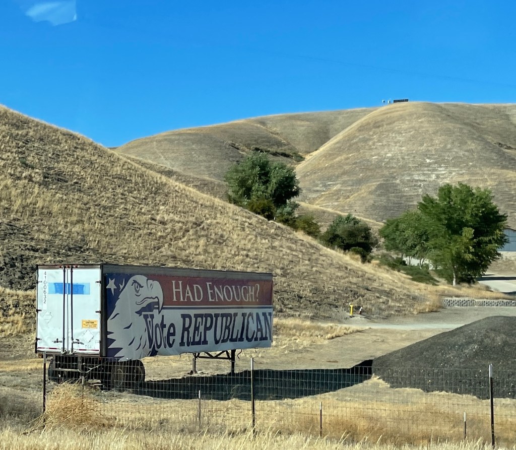
The only other entertainment is the protest signs from farmers complaining about water rights. Gavin Newsom seems to be their favorite target at the moment. It is not uncommon to see an entire orchard of almond trees cut down, or withering and shriveling up in the 100-degree heat, thanks to the drought.
It’s easy to forget just how vast California is. The third-largest state in the union, despite being the most populous state, doesn’t even rank in the Top 10 for population density.
Once you reach the Tracy-Stockton area, the traffic picks up as the I-580 artery disgorges a steady stream of vehicles exiting the Bay Area. This traffic is joined with State Route 99, a freeway that runs parallel to the I-5 on the east side and caters to more of the local agricultural industry. All these major roads converge in and around South Sacramento, where more traffic from I-80 (which extends from San Francisco to Teaneck, N.J.) invariably creates a great big snarl.
Taking the long way home
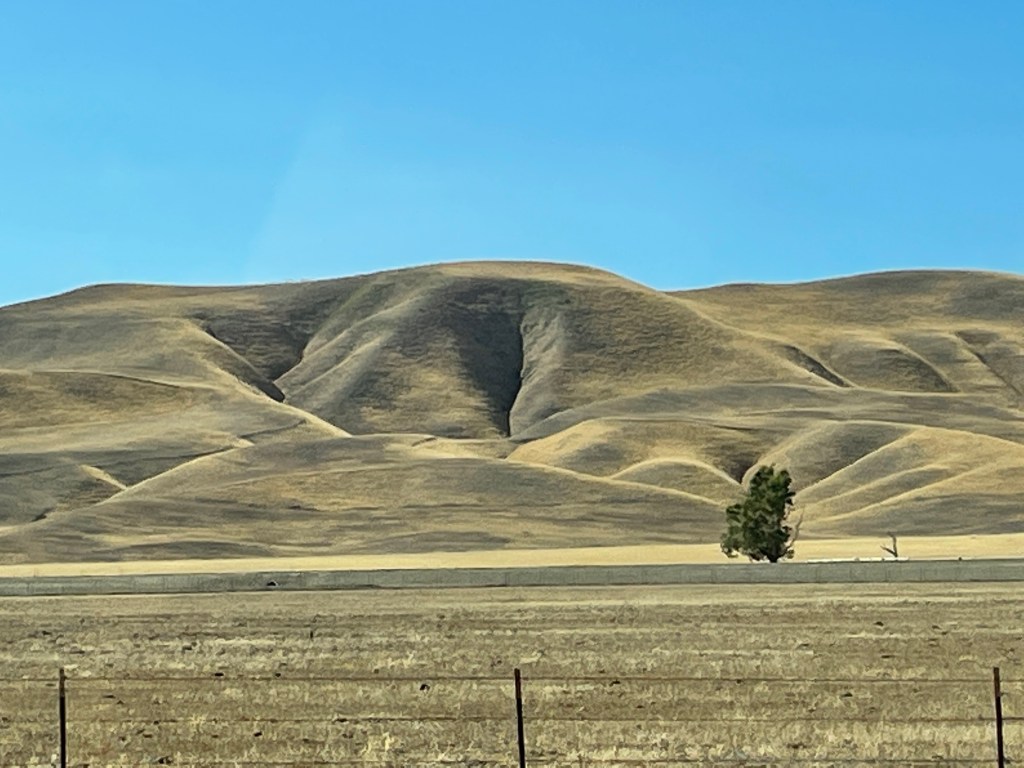
AFTER A WEEK in the Roseville area, we headed back home and this time decided to take the scenic route, cutting through the Santa Lucia Mountains at Paso Robles (Spanish for “step oaks). What a contrast to driving on I-5.
As you head west toward the mountain range, the flatness of the valley gives way to rolling hills that are both scarred and smoothed by erosion, appearing as crumpled-up velvet blankets. Although the better part of the drive on SR 46 is a surface road, it soon connects with U.S. Route 101, which is a divided highway. The drive here is noticeably different than I-5. Gone are the big semi trucks, and drivers are in a little less of a hurry, probably because the road is a bit of a roller coaster — up and down hills and many sharp curves — and the scenery is actually something to look at. I would guess that most of these drivers and their passengers are on vacation. Why else take the scenic route?
The Pacific Ocean is a welcome site as you descend into Pismo Beach. We happened to hit this town just around sunset, and the last remaining golden rays of the day reflected off the icy blue waters. By the time we arrived in Gaviota, just above Santa Barbara, the sky was a brilliant hue of pink, and the silhouette of oil derricks dotted the horizon.
The entire trip took about an hour longer this way, but we agreed that it felt shorter, thanks to the scenery.
An electrifying excursion
AND NOW A WORD OR TWO about driving an electric vehicle for this distance. The infrastructure for charging was never an issue. And, unlike gas stations, you can call up an app to find out ahead of time exactly how many bays are available for charging. Once you pull in, all you need to do is plug in. No cashiers, credit cards needed. The charges show up on the app. Overall cost each way was under $50. By my calculations, that’s about half the cost of a vehicle getting 20 miles to the gallon, with gas at $4.50/gallon.
Replenishing the battery takes longer than pumping gas, but we timed it so that these breaks were coincidental with getting a meal, using the restrooms, and just stretching our legs. In our view, the time difference was imperceptible.

Nice article.
LikeLike
Interesting and entertaining, George!
LikeLike
The whisper-quiet ride did not drive you to sleep? Lol! I have driven 5 times from Whitby (Ontario, Canada) to Desmoine (USA) straight on, only stopping for gasoline. On the return trip, from Sioux Falls to Whitby. The purpose was to explore the American Southwest. I remember that I had to suck on ice cubes to keep me awake. Your diary makes for good reading, Sherry-Lyn. Have you heard of Nina Simone’s Jazz rendition of House of Rising Sun? The British pop group The Animals sent this song to the top-of-the-chart, toppling the Beatles on the way.
LikeLike